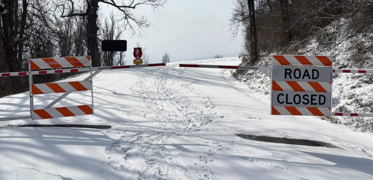
Snow lies unbroken on the pavement for miles, and the only sound up here is wind moving through bare hardwoods. Low January light rakes sideways across the drifts, turning every stone wall copper against the white.
This is one of the only places in the Southeast where a scenic road built for cars is simply handed to people on foot for months at a time. No plows, no traffic, no schedules — just a gated ribbon of Parkway that belongs to walkers, skiers, and anyone willing to dress for the mountain.
I wrote this guide to help you decide which winter Parkway experience fits your trip: the walkable closed sections, the short open drive near Linville, or a ski day after a fresh snow.
Budget runs from roughly free to modest: a walk or ski day costs nothing beyond gas, a simple room or cabin near Linville lands in the $100–$200 range, and a splurge stay with views runs $250 and up.
Your Winter Parkway Cheat Sheet
If you read nothing else, read this. These are the calls I would make for you.
- Best first walk: Pounding Mill Overlook at milepost 413 — the natural anchor of the closed Pisgah Ridge stretch between mileposts 412 and 416, and short enough for an afternoon.
- Best short stop: Buena Vista Overlook from the Route 60 entrance gate — under two hundred yards from the barrier, the surest payoff when daylight or footing is questionable.
- Best drive: Enter the open stretch at NC Highway 181 north of Linville for the 1930s stone bridge, then descend US 221 along the north fork of the Catawba River.
- Best snow-day activity: Cross-country skiing the gated sections on wider touring skis, in the day or two after a storm before the surface crusts.
- Best in-between-storm activity: Fat biking the closed pavement during cold, dry spells — out and back only, never on the sections open to vehicles.
- Non-negotiable: Check the National Park Service road status page at nps.gov/blri the morning you drive up, and never trust your mapping app over the gates.
Is the Blue Ridge Parkway open in winter?
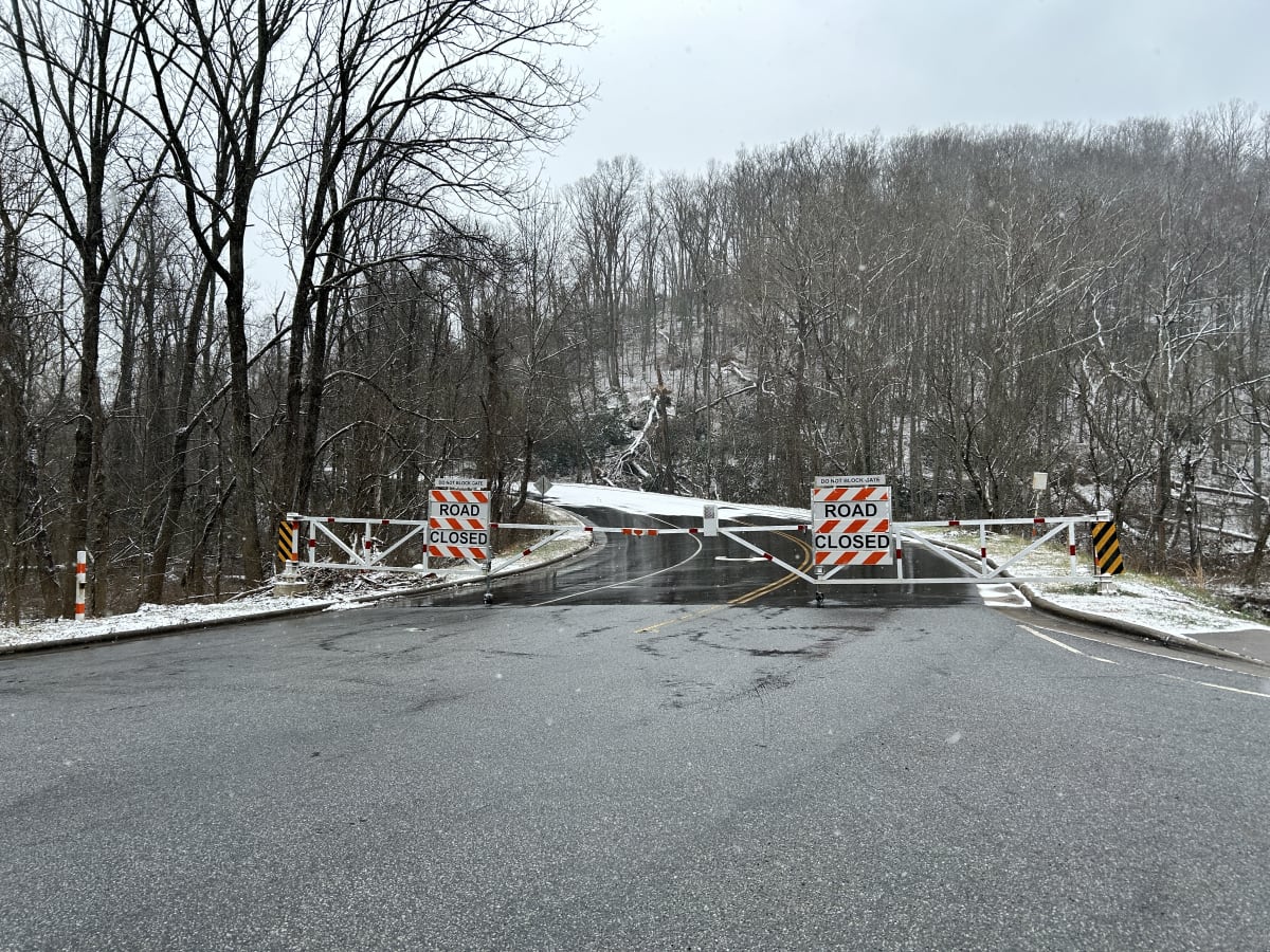
Mostly no — and that is the point. The National Park Service runs no snowplows, no sand, and no salt on the Blue Ridge Parkway.
After the first real snow of winter, the road is simply left alone to rest without maintenance until the spring thaw, which can lock away hundreds of miles of roadway for months at a stretch.
Why the Parkway closes — and stays closed
This is not a budget shortcut or a staffing problem; it is deliberate policy. The Parkway is a scenic historic park road, and the agency treats winter as an off-season for the pavement itself.
Once snow and ice arrive, crews do not chase the road back to bare asphalt. They close it and let it be.
What that means for your trip planning:
- Do not build an itinerary around driving the whole road in winter. Assume the majority of the Parkway is gated and undrivable, and design your days around the handful of segments that stay open.
- Closures are not a thin veneer of slush you can push through. With no plows and no treatment, the surface is left exactly as the storm left it, so an unplowed closed segment is a genuinely unusable road, not a challenge for a good SUV.
- The closed season has soft edges. The road rests from the first winter snow until the spring thaw, so the exact open and close dates shift every year with the weather rather than landing on a fixed calendar day.
- The closure is the trade-off for what you get. No maintenance means no traffic, and no traffic is the entire reason a winter visit feels different from any other time of year.
My honest read: if your goal is a scenic drive on demand, choose a different season. If your goal is solitude, a closed Parkway is the best deal in the Southeast.
The stretches kept open for local access
There is one exception carved out for people who actually live up here: a short stretch of Parkway east of Linville stays open through winter because working farms along it need road access. The Park Service plows and gates the rest of the road for public safety, but it cannot cut off residents who use that segment as a lifeline.
Treat that open stretch as a rare gift rather than a guarantee. It is the only stretch where you can count on driving the Parkway in winter, the mountain scenery around Linville is genuinely strong, and it is the reason a winter road trip here works at all.
Planning details for driving it are covered further down the article.
Checking road conditions before you go
Parkway closures change as storms roll through, so the only source that matters is the National Park Service road status page for the Blue Ridge Parkway at nps.gov/blri. Check it the morning you drive up, not the week you book, because a single overnight storm can gate a segment that was open yesterday.
- Ignore your mapping app. Navigation apps will happily route you onto gated segments of a closed Parkway. The NPS road status page overrides whatever your phone tells you.
- Look segment by segment, not all-or-nothing. The Parkway is managed as a series of road sections with their own gate status, so partial openings are normal.
- Build a fallback into the day. If the segment you wanted is closed, you have not wasted a trip — the farm-access stretch near Linville and the walking options elsewhere cover you.
- Know the camping rule before you improvise. Camping along the Parkway is permitted only in designated areas. Sleeping at a pull-off or behind a gate is not allowed, and roadside pull-offs are not a backup lodging plan.
- Confirm before you leave the valley. Cell service thins out near the ridge, so open the road status page while you still have signal and save a screenshot.
Walking the closed Parkway in winter
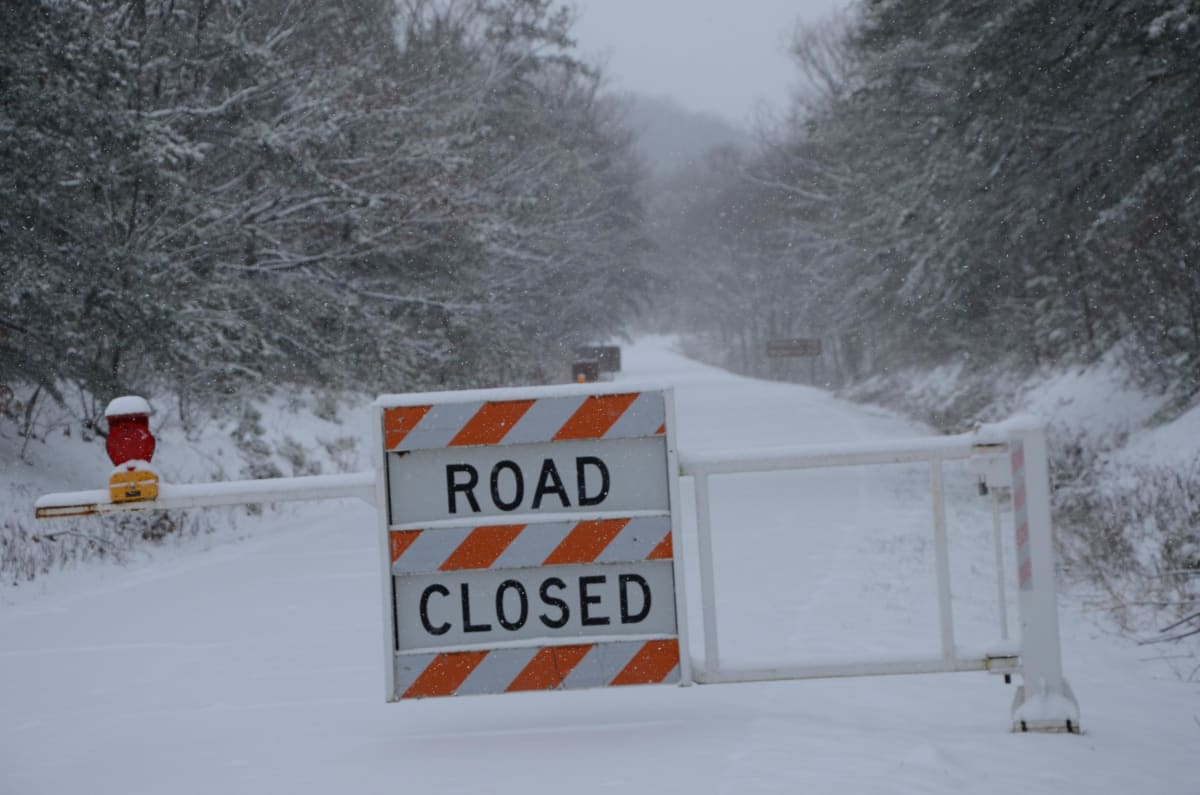
Pounding Mill Overlook, at milepost 413, is the spot that turns a winter drive into a winter walk — it sits near the midpoint of a four-mile stretch of Parkway between mileposts 412 and 416, and in the off-season you can stand in the middle of the travel lane and take as long as you want with the view. Snow and ice make that pavement slippery, so the walking is slower than the driving ever was, and that is exactly the point.
Why walking beats driving this time of year
The Parkway is built to be seen at about 45 mph, and in winter that speed robs you of every overlook it was designed around. On foot you get the slow-motion version: the same vistas, plus the pull-offs, the stonework, and the milepost markers that vanish from a car window.
Hikers are welcome on the road year-round from any normal on-ramp, so there is no special winter permit or seasonal rule to sort out — walk on and walk back.
My honest take: this is the best-value winter activity on the ridge, and it costs nothing. The trade-off is footing.
Snow and ice make the pavement genuinely slippery, and packed snow on shaded stretches behaves like polished stone. Wear boots with real tread and treat every downhill section as the place you will fall, because that is where people do.
- Best reason to walk: You can stop anywhere, including spots with no pull-off, and give the light time to change.
- Best pace: Plan on roughly half the speed you would make on dry pavement, and turn around early if the surface hardens.
- Biggest mistake: Walking the crown of the road instead of the edges, where packed snow is thinner and traction is better.
- Best time of day: Late morning, once the sun has taken the glaze off the worst of the ice and before afternoon shade refreezes it.
Pisgah Ridge: a 4-mile walk between mileposts 412 and 416
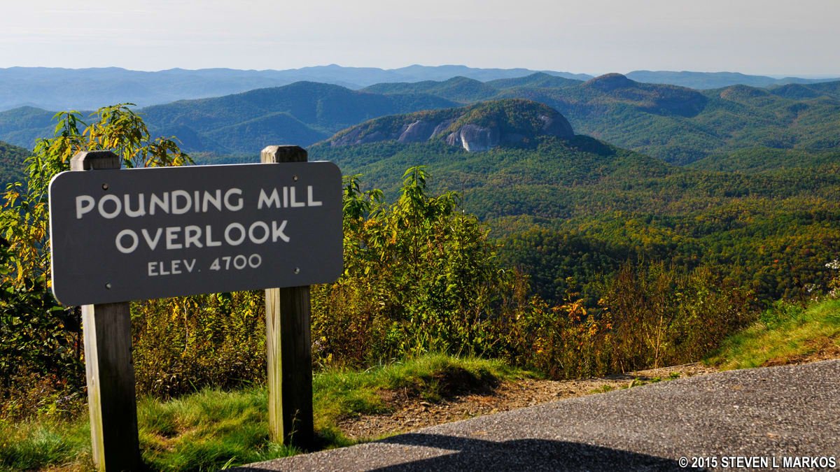
This is the walk I would choose over any other closed section nearby, because it is short enough to finish in a winter afternoon and dense enough with overlooks that no stretch feels like filler. Start at either end and use Pounding Mill Overlook at milepost 413 as your turnaround or your snack stop — it is the natural anchor of the route, and it is close enough to the start that families with kids can call it a day there and still feel they did something.
The whole run is four miles end to end. Walk it as an out-and-back only if you have the daylight and the legs; otherwise do the northern half to Pounding Mill and return, which keeps you near your car if the temperature drops.
- Do this walk if: You want the classic Pisgah Ridge experience in the least amount of time.
- Skip it if: Recent freezing rain has glazed the road — glare ice on a sloped Parkway is not a walk, it is a hazard.
- Bring: Traction you can strap over your boots if you have it. It is the single item that turns this from a shuffle into a hike.
Buena Vista and Irish Creek overlooks from Route 60
From the entrance gates where Route 60 crosses under the Parkway, Buena Vista Overlook is less than two hundred yards to the south — the shortest, surest payoff on this entire stretch, and the walk I recommend when daylight is thin or the road surface is questionable. Irish Creek Overlook lies less than a mile to the north, which makes a satisfying round trip without committing to the full four miles.
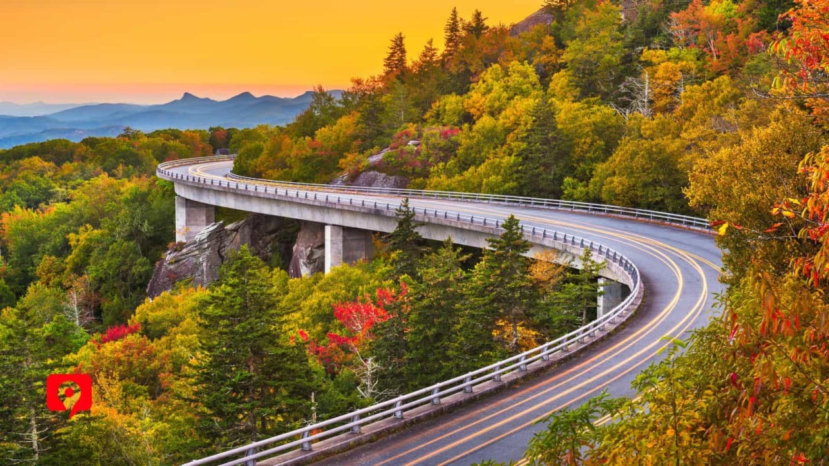
Getting there is simple: travel east from Buena Vista on Route 60 for about three miles, and near the top of the mountain turn in at the well-marked entrance. Drive up onto the Parkway until you reach the barrier fence and park there.
My call: if you only have an hour, do Buena Vista and skip Irish Creek. If you have a full morning, walk north to Irish Creek first while your legs are fresh, then drop back south to Buena Vista on the return — the shorter leg falls at the end, when you want it.
Gate etiquette and access-road conditions
The barrier fence is not a suggestion and the gate is not a parking lot. Park Service vehicles need to get through, and a car parked across the opening can strand crews who are working the ridge in bad weather.
- Park behind the barrier and leave the gate opening completely clear, even if that means walking an extra few yards in the cold.
- Never block the gate, not even for a quick photo stop. This is the one rule that gets people ticketed and the one that ruins access for everyone else.
- Expect access roads to be the good news: most of them are maintained through the snow season, so you can usually drive right up to the Parkway rather than hiking in from the valley.
- Expect the Parkway pavement to be the bad news: it is not treated, so snow and ice linger on it long after the access roads are bare. Plan your footwear for the last few hundred yards, not the drive up.
Do that and the logistics disappear — you arrive, you park behind the fence, and within a few minutes you are standing on a road built for cars that, for the season, belongs to walkers.
Driving the open stretches near Linville
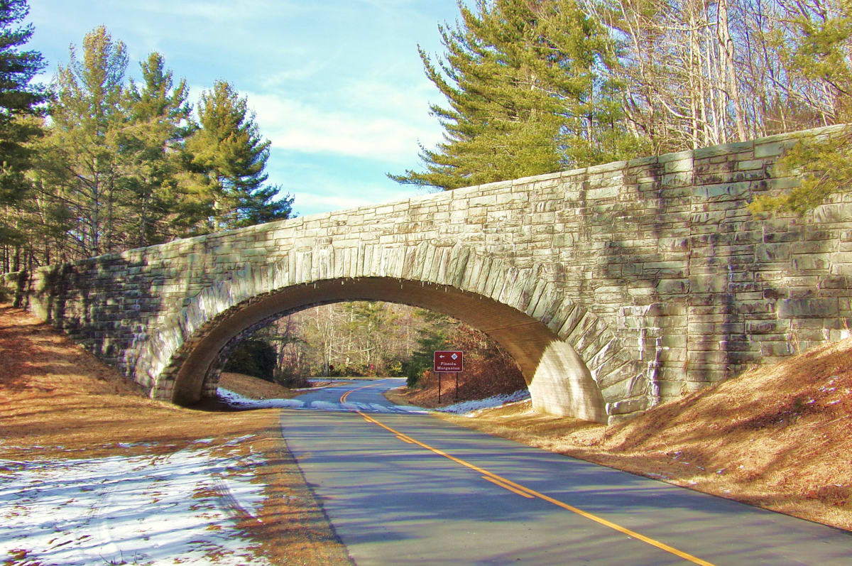
The Parkway greets you at the NC Highway 181 on-ramp with a stone bridge arching over the road — rough-cut rock laid in the 1930s by men who badly needed Depression-era work, and still the most elegant entrance in the North Carolina high country. This is the rare point where a cross road passes above the Parkway rather than beneath it, which is worth a slow look before you pull onto the pavement.
Entering at NC 181 and the 1930s stone bridges
Take NC Highway 181 north from Linville and watch for the Parkway entrance sign; the bridge is at the on-ramp, so you cannot miss it. Pull onto the Parkway here rather than a smaller access lane — the sightline is good, the road is wide, and you get the bridge framing your first stretch of open pavement.
- My call: Start at NC 181 instead of driving up from US 221. The bridge alone justifies the entry point, and the road ahead runs open toward the farms east of Linville.
- Build in a stop: Park in the wide shoulder area near the bridge before you join the Parkway — the stonework rewards a walk-around, and winter light on the wet rock is the whole reason to bring a camera.
- Expect snow on the pavement: Recent snowfall covers much of the driving surface here and the going is slow. That is the point. Keep speeds low and treat every shaded curve as if it holds ice.
- Look northeast: The mountains open to the northeast of this stretch, so the big view arrives on your right when you drive south from NC 181.
Ice on the cliffs and the empty road
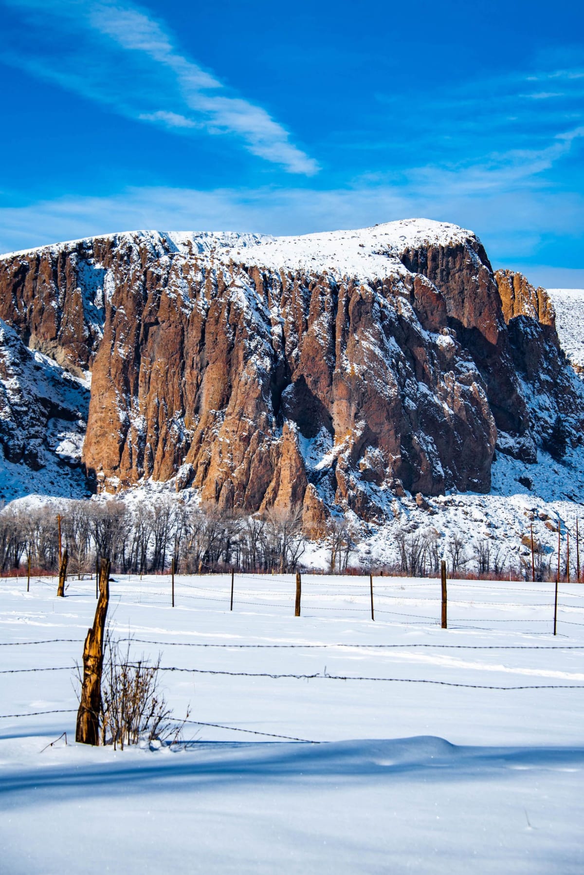
Where springs seep from the rock cliffs alongside the road, the water freezes into curtains and slicks that reach onto the pavement. Assume the worst at any cut-rock section: shade, seepage, and a low sun angle mean ice lingers here after the open lanes look dry.
What makes this stretch special in winter is the emptiness. The road stays open while most of the Parkway rests for the season, so the traffic you meet is locals and farm access — not the summer convoy. Drive it for the solitude, not the speed.
- Best tactic: Treat every stone-faced cut as a potential ice zone and coast through it at a crawl, no braking on the curve.
- Best pacing: Cover this short open run slowly and stop often. It is a savor-the-road stretch, not a connector.
- Best timing: Midday sun does the most work clearing shaded ice; early morning is the iciest window of the day.
The Catawba’s north fork on US 221
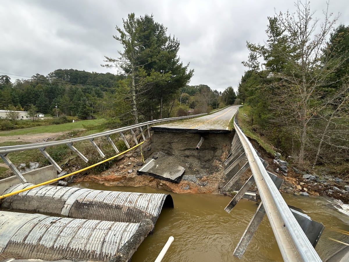
South of Linville Village, US 221 runs below Grandfather Mountain with the north fork of the Catawba River keeping pace alongside it — a low-elevation companion to the ridge drive above. If the Parkway sections you wanted are gated or too icy, this is the consolation route: river on one shoulder, mountain wall on the other, and a road that stays plowed when the ridge does not.
- Use it as the descent: Drop onto US 221 to reach Linville Village for fuel and food rather than backtracking along the Parkway.
- Watch the river: Snowmelt pushes the north fork up and the water runs loud and fast through the rock bends — good from the bank, not worth scrambling down to.
- Pair the two drives: Ride the Parkway at NC 181 for the ridge and the stone bridge, then follow US 221 down the Catawba corridor. Together they give you the high road and the river road in one outing.
The payoff of this loop is simple: an open road, a Depression-era bridge, cliff ice, and a running river — all within a few miles of Linville, with almost nobody else on the pavement.
Cross-country skiing and biking the empty road

A closed Blue Ridge Parkway is the only place in the Southeast where a cross-country skier can glide past an on-ramp and keep going for hours on an unbroken ribbon of trail along the ridge crest. After the first snow, the road simply closes and stays closed — and for Nordic skiers, that is the whole point.
Skiing unbroken trail along the ridge crest
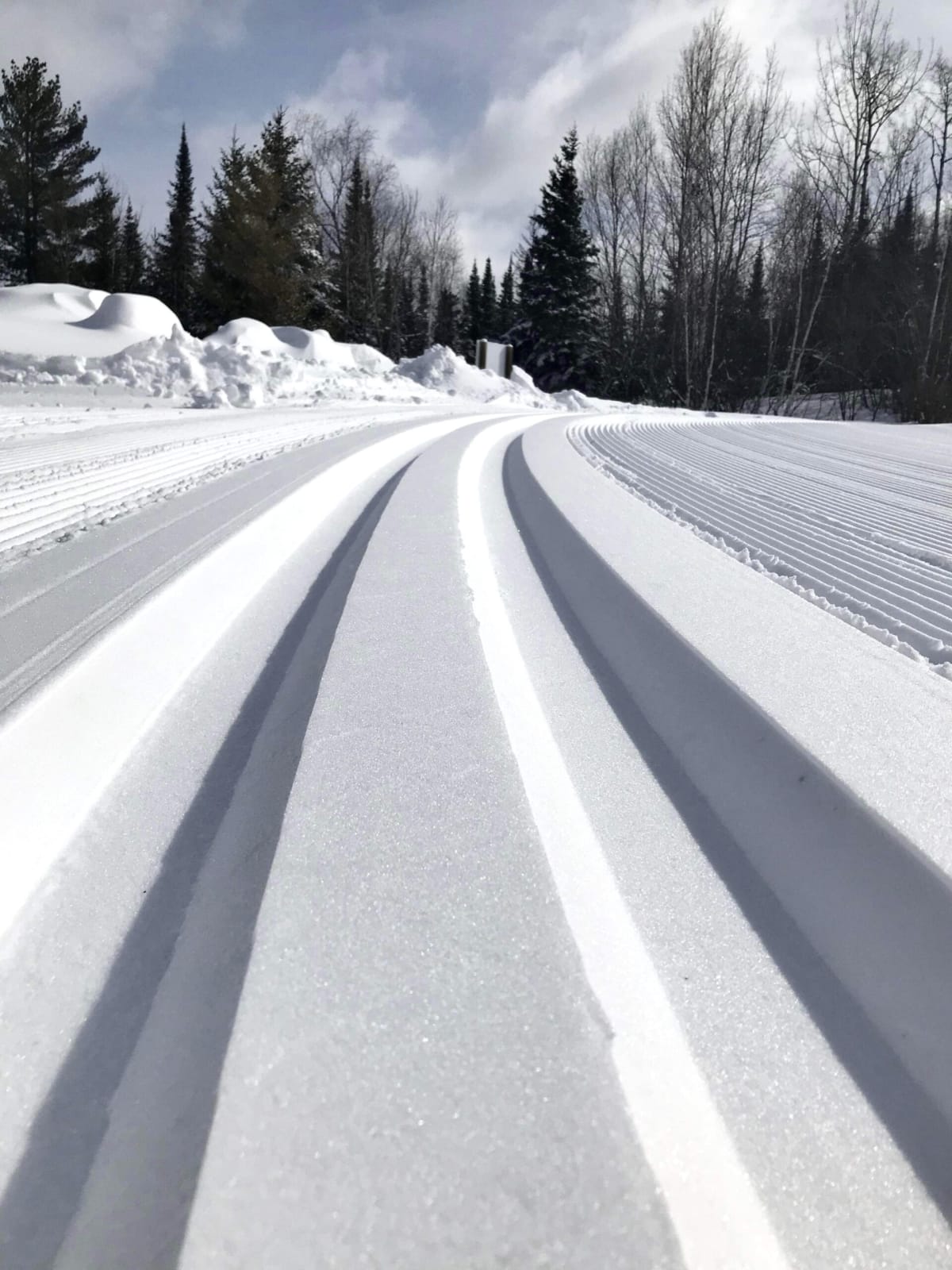
The Parkway is heaven for cross-country skiers precisely because it is a road nobody maintains in winter. For literally hundreds of miles north and south, the pavement lies under snow with no plow cuts, no sand, and no tire ruts to break your rhythm.
Start from any on-ramp along the closed sections and the trail runs as far as your legs do.
My honest read: this is touring, not groomed resort skiing. Set your expectations at exploration rather than speed, and the day delivers.
- Best for: Skiers comfortable on ungroomed snow who want distance and solitude over track-set predictability.
- Ski choice: Bring wider touring or backcountry skis rather than thin racing skis — fresh snow over pavement goes soft and slow, and you want flotation and edge control.
- Timing call: Go in the day or two after a storm, before sun and wind crust the surface. Snow cover thins fast on an exposed ridge road.
- Route strategy: Enter from on-ramps well away from towns; the further from a paved access road, the fewer other tracks you will share the day with.
- Skip it if: You want groomed classic tracks or a warming hut. Neither exists out here.
Biking when the snow is sparse
When the snow is sparse, the same closed road flips sports entirely — bikers get hundreds of miles of empty pavement with no traffic and no schedule but their own. Thin or patchy snow is exactly the condition that makes a winter Parkway ride worthwhile.
- Winning bike: A fat bike or a mountain bike with wide, knobby tires. Drop-bar road bikes lose the moment snow lingers in the shaded curves.
- Best window: Cold, dry spells between storms, when the pavement is bare but the pull-offs and trees still hold snow.
- Where to ride: Stay on the gated, closed sections. The stretches that remain open to vehicles in winter belong to cars, not to you.
- Turnaround rule: Out-and-back beats a through-ride. Snow depth changes by the mile on a ridge, and a long descent you flew down going out becomes a wall on the return.
Whichever you choose, the appeal is identical: a scenic road built for slow looking, finally given over to people moving at the right speed. Bring the skis after a storm and the bike in between — the Parkway rewards both, just rarely on the same day.
Staying safe on the ridge in winter
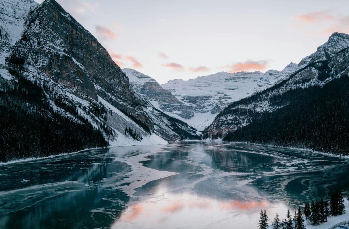
A cold rain falling in a Blue Ridge valley can be a snowstorm on the ridge above — and that single fact ruins more winter Parkway trips than any closure notice. Assume the summit is a different climate than the town you left, and pack for the mountain, not the forecast.
Wind, cold, and elevation above the valley
The Parkway here runs along ridge crests roughly 2,500 to 3,000 feet above sea level. That is enough gain to change everything about the weather on your skin. Plan around these gaps between the valley and the ridge:
- Temperature: Expect conditions 5 to 10 degrees colder than the town below. On an exposed overlook, that difference decides whether you stay an hour or fifteen minutes.
- Wind: Ridge-top wind can blow up to four times harder than in the valley. Wind that feels brisk at the trailhead becomes punishing on open pavement with no trees to break it.
- Wind chill: Cold air plus that wind routinely pushes the felt temperature below zero. Exposed skin suffers fast at that level, so cover your face and hands before you need to, not after.
- Precipitation: Valley rain means snow or freezing rain on the ridge. If rain is in the valley forecast, treat the mountain as a snow forecast.
My rule: if the valley forecast shows rain and temperatures in the low 30s, I stay low. That combination puts you at the exact threshold where ridge snow and black ice form, and there is no advantage in being the first person to discover it.
Gear, layers, and battery life
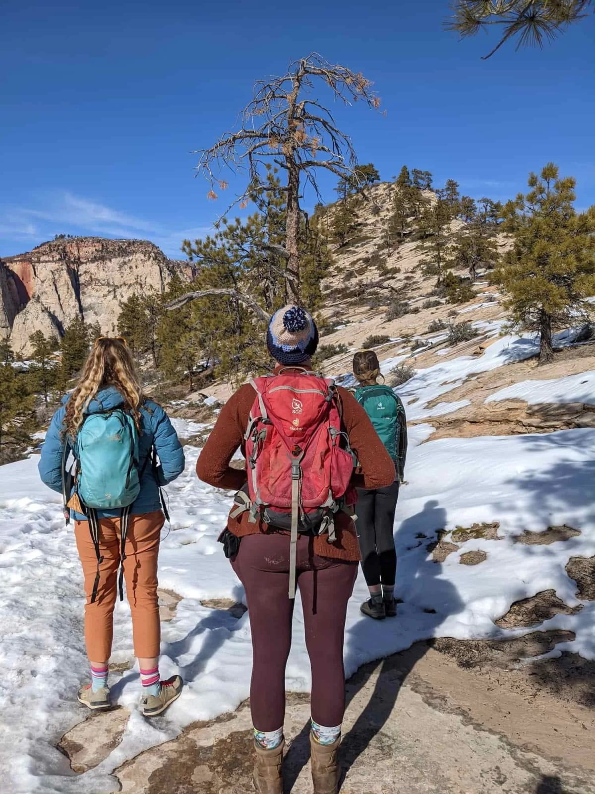
What separates a good winter walk from a miserable one is boring, small, and left at home by most people. Keep your hiking boots in the car for the whole trip — frozen boots are worse than none, and a plan that only works when the weather is perfect is not a plan.
- Layers: Dress so you can shed and add without stopping long. Wind and exertion swing your body temperature more than the air temperature does.
- Water and energy food: Carry both even on a short outing. Cold suppresses thirst and hunger signals, so drink and eat on a schedule rather than waiting to feel like it.
- Phone battery: Cell phones generally work along the ridge, but cold cuts battery life roughly in half. Keep the phone in an inside pocket against your body and expect the percentage to drop far faster than the map suggests.
- Light: Winter daylight is short and low. If you push your turnaround time, you will be finishing in the dark on ice.
The single habit that matters most: charge everything the night before and carry a backup power bank warm in a pocket. A dead phone in wind chill below zero is how a two-hour outing becomes an emergency.
Never head out alone and unannounced
Take a partner. Cold injuries and ice falls both get worse faster than one person can fix alone, and a companion is the difference between a slip and a night out.
Tell someone your plan before you leave cell range: where you are parking, which direction you are walking, and when you expect to be back. Give them a time to call for help if they have not heard from you.
Texting a photo of your car at the trailhead works, and it costs nothing.
- Turnaround time beats distance. Decide it before you start and honor it regardless of how close the next overlook looks.
- Trust the wind, not the map. If you are cold at the first stop, the exposed ridge will be worse, not better.
- Bail early and often. Nothing on the ridge in winter is worth a rescue call, and the road and views will be there in better conditions.
Do these few things and winter on the Parkway stops being a gamble and becomes the most reliable quiet you can find within a day’s drive.
What you’ll see on the Parkway in winter
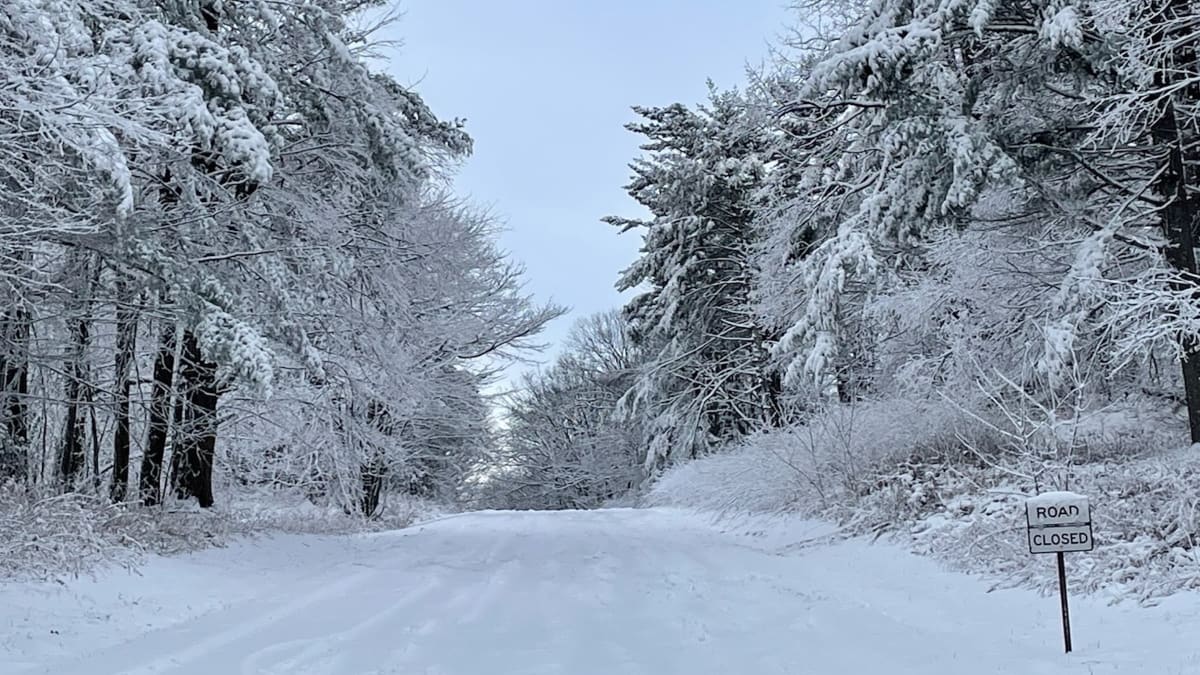
Snow lies unbroken on the closed roadway for hundreds of miles north and south, an unmarred ribbon of white tracing the crest of the Blue Ridge. That single image is why photographers drive up here in January instead of October — and winter is the only season that produces it.
Snow, ice, and low winter light
The high country gets snowman-quality snowfall, and the light is what turns it into pictures worth the cold. The winter sun never climbs far, so it rakes sideways across the drifts from mid-morning to late afternoon, deepening every shadow and warming bare hardwoods to copper against the white.
If you are choosing one window to shoot, choose the hour after a storm breaks: the sky still carries texture, the snow is still powdery, and nothing has been walked or driven through yet. That gap is short and it is the difference between a postcard and a snapshot.
Ice is the other subject, and it reads better close up than from a pullout. Look for it on shaded cuts and along exposed rock faces where meltwater refreezes overnight, then let the low light do the work.
- Ridge ribbon: The white road curving along the crest is the money shot. Overlooks along the crest give you the depth you need — a foreground rail or drift, the road in the middle distance, layered ridges fading behind.
- Ice detail: Get low and close. Backlit ice glows in a way that flat midday light kills.
- Storm sky: Cloud banks spilling over the ridges are the drama. Stay after the snow stops instead of packing up early.
Bring the wide lens and the telephoto both. The scale of the crest flattens into nothing on a phone camera.
Solitude you won’t find any other season
With the gates closed to vehicles, the soundtrack up here is falling snow. No cars, no motorcycles, no planes overhead for long stretches — just wind and the hush that comes after a storm.
This is the part of the Parkway that regulars are quietly protective of, and it is the reason to make the trip rather than look at photos of it.
What that solitude actually buys you:
- Uncluttered vistas: Every overlook is yours. The bare trees open sightlines that summer foliage hides completely, so you see further across the valleys than any other month.
- Unbroken snowfields: Fresh snow stays pristine, uncluttered, and untracked. In a good storm you can walk a long way before you see another footprint.
- Stillness with scale: Hundreds of empty miles of ridge make the crowds at peak season look like a bad dream.
My honest read: if you come for company, food, or a full day of open attractions, winter will frustrate you. If you come for space and photography, no other season on this road comes close.
Late-winter surprises into March
Do not write off the tail end of the season. Big storms arrive as late as the first day of spring, dropping a full winter blanket over the crest when the valleys below are already greening.
That contrast is the best photograph of the year: snow-loaded ridges above bare, rain-washed foothills.
The payoff after those late storms is sharp and clean. Vistas return while the crowds stay away, the air is crystal clear for a day or two after the front passes, and you can stand at a normally packed overlook and see no one.
Plan around the forecast rather than the calendar — a March snow event is worth rearranging a trip for, and the melt happens fast enough that timing is everything.
Frequently Asked Questions
How many days should I plan for a winter Parkway trip?
One full day covers the open drive near Linville plus a walk out to Pounding Mill Overlook. Give it two days if you want a shot at skiing fresh snow, since that depends entirely on when the last storm arrived.
Where should I base myself?
Stay near Linville, so you can reach the NC 181 entrance, drop down US 221 to Linville Village for fuel and food, and be back at your room before dark. Winter daylight is short, and being close to the ridge is what makes a same-day storm window usable.
Is this manageable with kids?
Yes, if you treat Pounding Mill Overlook as the goal rather than the full four miles. It sits close enough to the start that a family can walk out, take in the view, and turn around before the cold becomes the whole story.
What does a winter visit actually cost?
The walking, driving, and photography are free — your money goes to gas, layers you may already own, and lodging. Plan on roughly $100–$200 a night for a simple room or cabin near Linville, and $250 and up if you want views and a fireplace.
Go While the Road Belongs to You
Pick your morning, pull up nps.gov/blri with coffee in hand, and drive NC 181 to the stone bridge while the pavement is still open to you. If the gates are shut, park behind the barrier on Route 60 and walk out to Buena Vista Overlook instead — the ridge rewards both plans.
Winter is the only season that hands you hundreds of miles of silent, snow-covered road with nobody else on it, and that window closes the moment the plows return.
Save this guide to your winter trip board now, then check the road status page the morning you go.
Leave a Reply